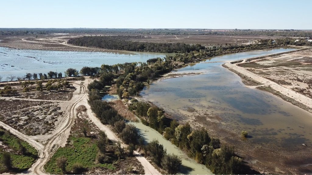
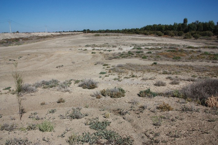
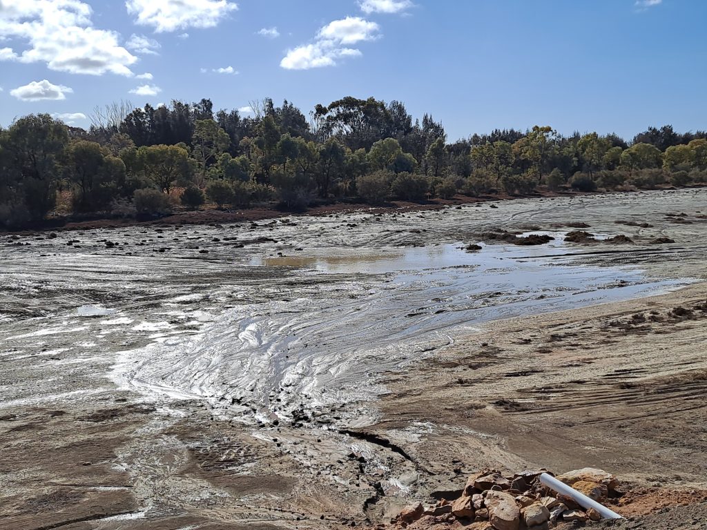
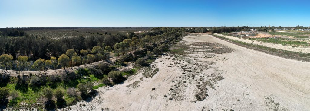
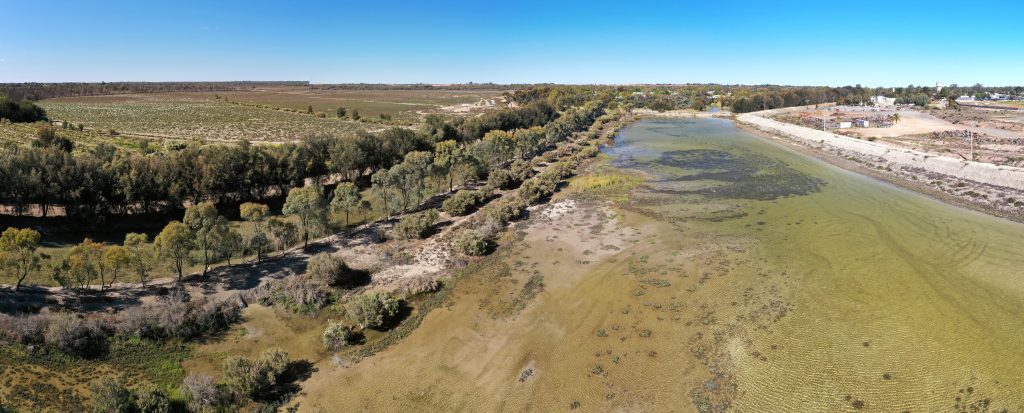
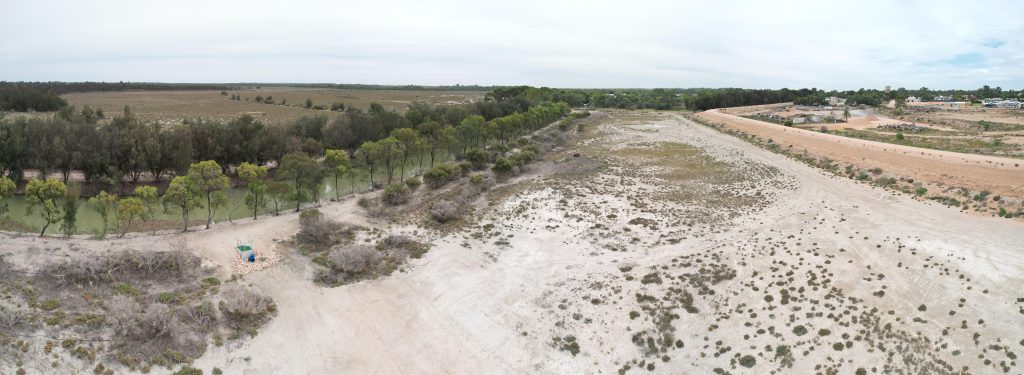
The Ral Ral Bridge Floodplain site follows the dredged embankment of Bookmark Creek, to the north east of Ral Ral Bridge in Renmark. In the initial survey done in 2018, the floodplain vegetation consisted of KI tea tree, black box and swamp oak. There was also an abundance of samphire, which is commonly found in soil that has a high level of salt. The area has been degraded by saline ground water and inappropriate inundation from storm water from the 1920s until the 1980s. In the last few decades, channels have been built to take away the saline irrigation water to Disher Creek and from there to the Noora Basin near Loxton.
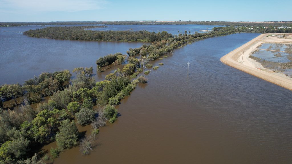
The first environmental water delivery at this site took place from July to September 2021. It is hoped delivering environmental water will halt the decline of long-lived species such as black box. In time, the reduction in soil salinity will eventually promote the regeneration of less salt tolerant plant species. Monitoring at the site during the first watering recorded seven species of waterbirds, four species of woodland birds and four frog species.